

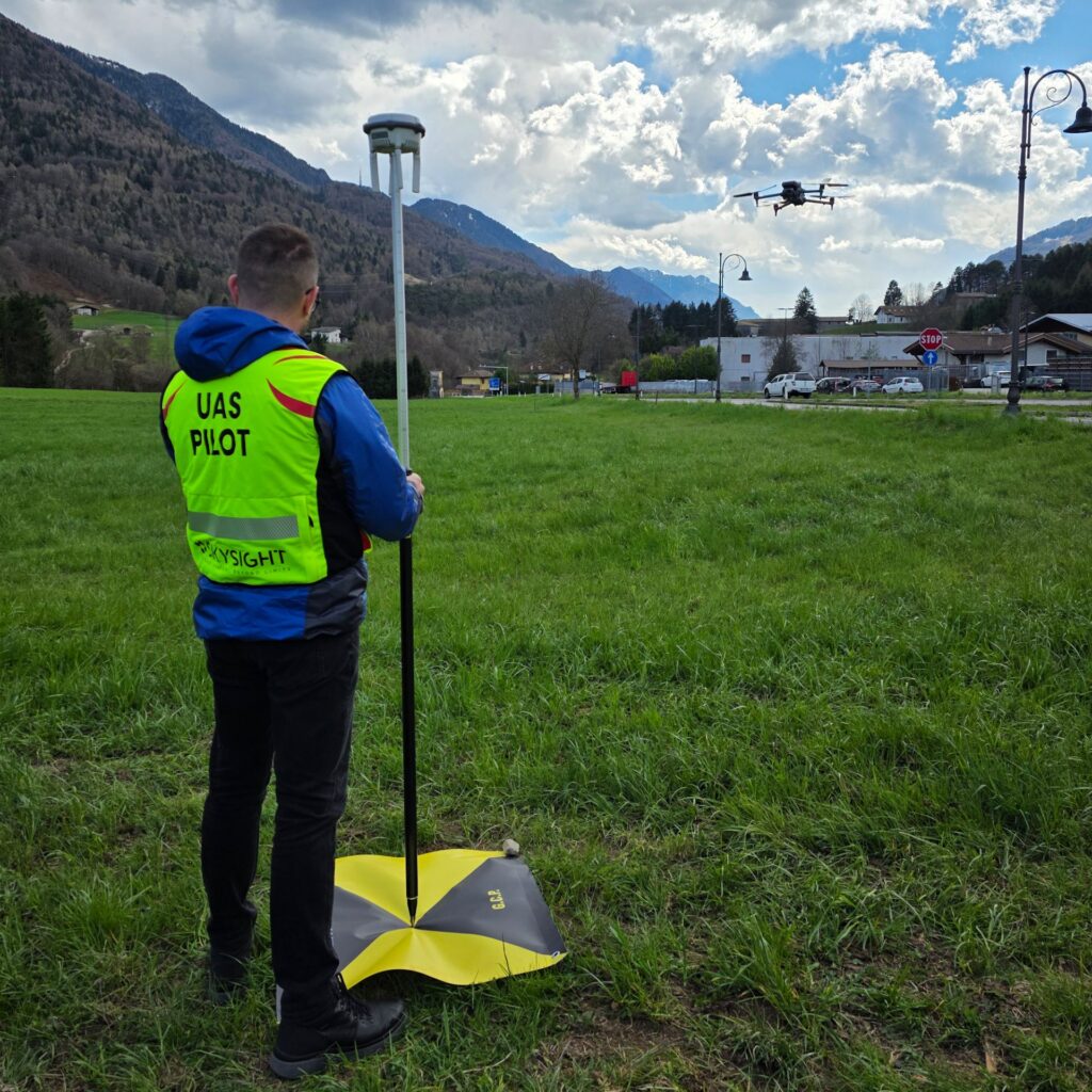
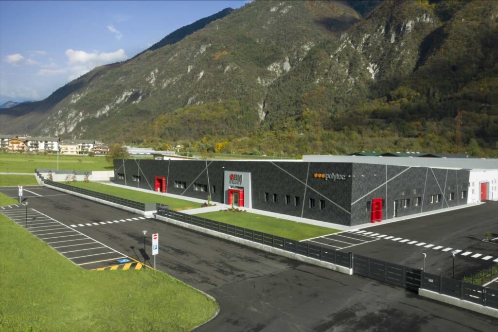
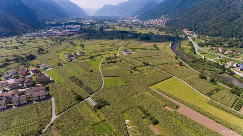
Drone-based planimetric and altimetric surveys offer an efficient and innovative solution for acquiring accurate topographic data. Using professional drones equipped with high-resolution sensors, advanced georeferencing systems and, where necessary, LiDAR sensors, it is possible to quickly capture both the planimetric coordinates and the altimetric data of an area.
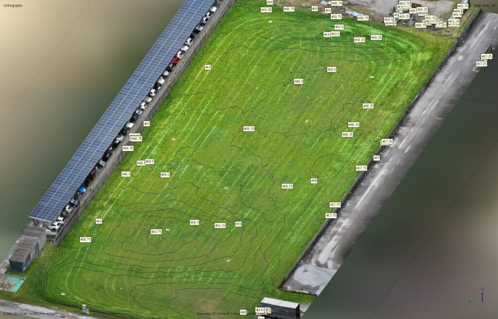
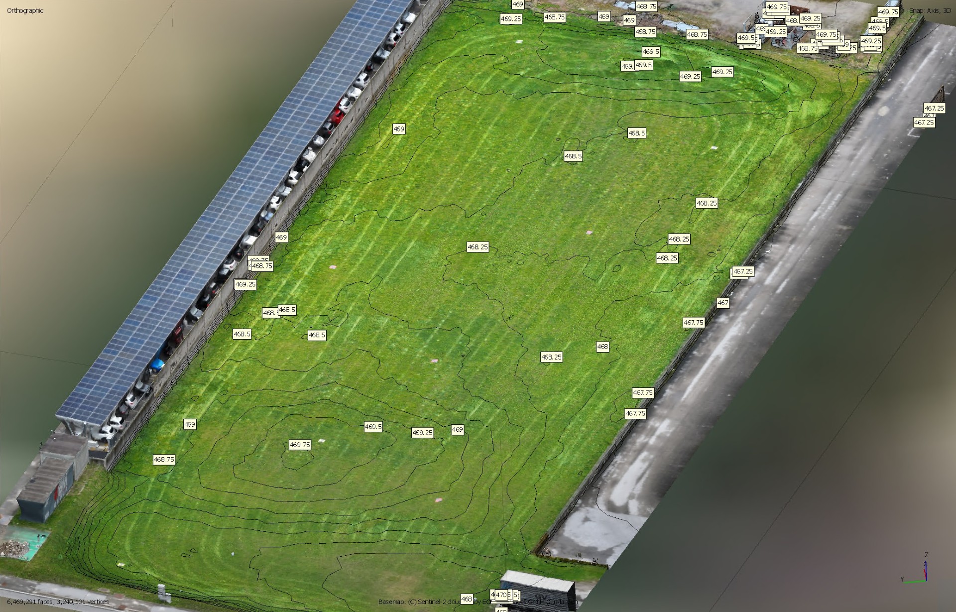
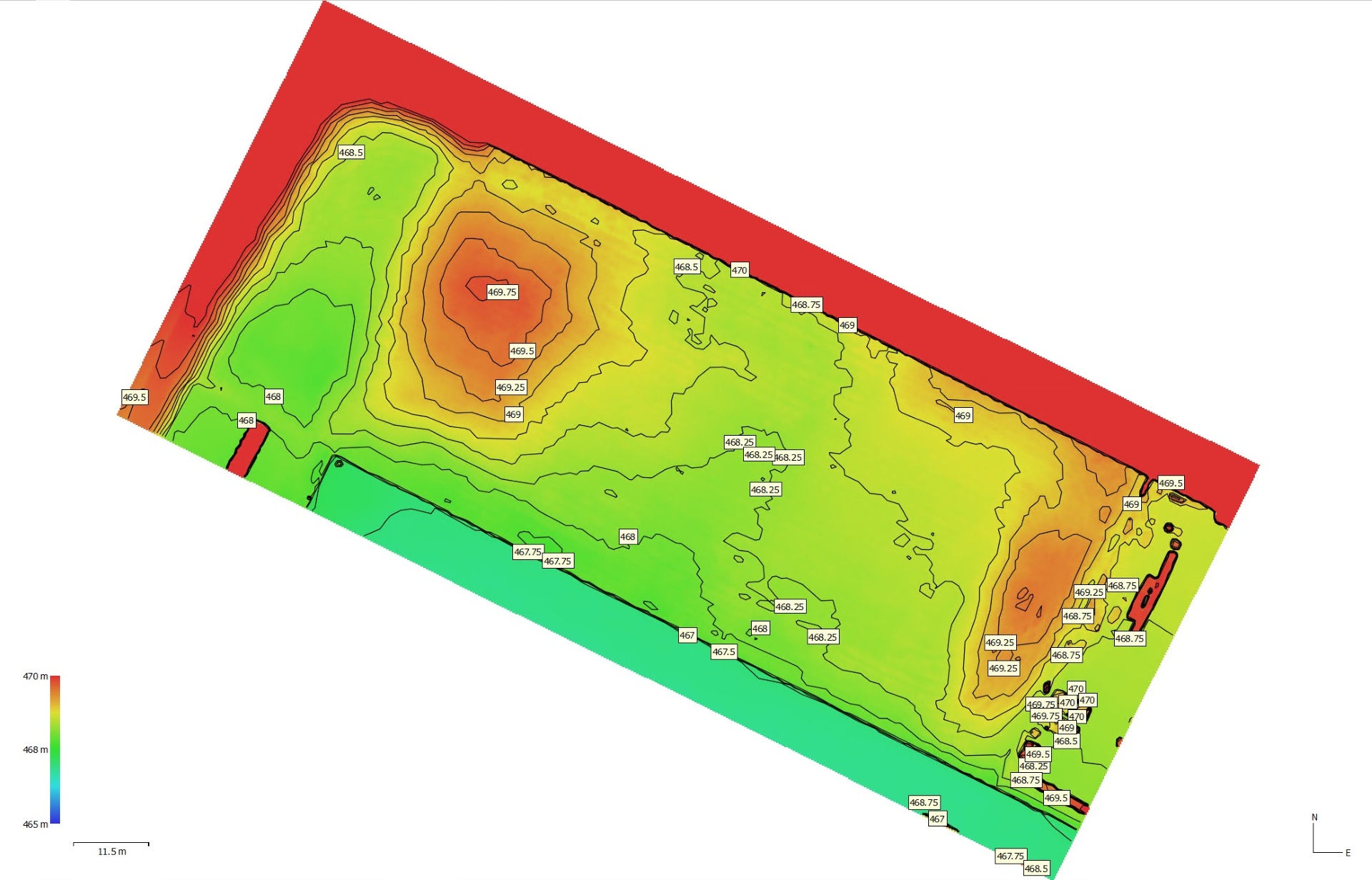
The collected data is processed using photogrammetry software or through LiDAR scan processing to generate technical products such as georeferenced orthophotos, digital terrain models (DTMs), digital surface models (DSMs), point clouds and three-dimensional models. This information can be easily integrated into the main CAD, GIS and BIM software used by engineers and designers.
Advantages over traditional surveying methods:
- surveying large areas in much less time compared to traditional topographic methods;
- reducing operational costs thanks to rapid data acquisition and the reduced need for field personnel;
- obtain very dense point clouds, providing a detailed representation of the terrain’s morphology;
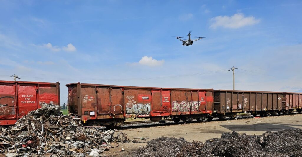
- collect data in complex or potentially hazardous areas, reducing operators’ exposure to potential risks.
Thanks to the combination of precision, speed and data completeness, drone surveys are now an extremely effective tool for supporting technical, design and land analysis activities.


